Six miles of sea wall, shingle and open estuary separate Whitstable from Herne Bay, and the walk between the two towns is one of the most forgiving coastal routes in Kent. It is flat almost the whole way, follows a surfaced path for most of its length, and puts a bench, a cafe or a toilet block within reach roughly whenever you want one. It also catches people out. A stiff northerly, a spring tide and a shingle ridge that appears and disappears with the water can turn an easy stroll into a proper day out, which is exactly why a bit of planning is worth the effort.
Here is what the route actually looks like, how long to allow for it, and what to put in your bag before you leave the car park.
The Route, Stage by Stage
The walk follows the sea wall east, shared for much of its length with the Saxon Shore Way and the Oyster Bay Trail. That last detail matters: the path is used by cyclists, so keep left, keep dogs close, and don't assume you have the whole width to yourself.
- Whitstable Harbour to Tankerton Slopes (about 1 mile). Start by the harbour, where the fish huts and the black timber sail loft make an obvious meeting point. Head east along the sea wall, past the last of the harbour buildings and the beach huts at Long Beach. The sea stays on your left the whole way.
- Tankerton Slopes to Swalecliffe (about 1.5 miles). This is the prettiest stretch. A grassy bank rises on your right, the beach sits below on your left, and the path stays level between them. In summer there is usually an ice cream van somewhere along here, and a couple of pubs and cafes sit a minute inland.
- Swalecliffe to Hampton (about 1.5 miles). The character changes. The path runs tight against the sea wall with the Swalecliffe Brook, low-lying ground and the saltmarsh behind it. Bring binoculars if you have them; turnstone, oystercatcher and redshank are regulars on the exposed mud and shingle.
- Hampton to Herne Bay Pier (about 2 miles). Pass the Hampton Inn, sitting almost on the sea wall, then follow the promenade as Herne Bay opens up ahead of you. The clock tower, the bandstand and the pier mark the end. Reculver's twin towers sit on the horizon to the east, tempting you onward if you have another three miles in you.
How Long the Walk Takes
Six miles at a steady pace is around two hours. Most people take two and a half to three, and that is the number to plan around once you factor in a stop for coffee, a poke about on the beach and the photographs you will inevitably take at Tankerton.
A comfortable half day looks like this: park in Whitstable around 10am, walk with a break at Swalecliffe or Hampton, eat lunch in Herne Bay, then take the bus or train back rather than turning round. Walking both ways makes it a 12-mile day and, on the return leg, the wind is usually against you.
Tides, The Street and the Sea Wall
The main path sits above the tideline, so you can walk it at any state of the tide. Two things still need checking.
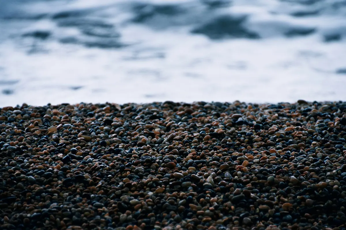
The first is The Street, the shingle ridge that runs out from Tankerton beach and is only exposed around low water. It is a wonderful thing to walk along, but it appears and disappears on a schedule that has nothing to do with yours. Check a tide table for Whitstable before you set out, give yourself a clear hour or two either side of low water, and turn back the moment the water starts to move back in. The surface is uneven and slippery with weed in places, so grippy shoes are essential rather than optional.
The second is the sea wall between Swalecliffe and Hampton. On a high spring tide with an onshore wind, spray and occasional waves come over the top. There is usually a higher path or a short inland diversion available; if the water is coming over the wall, take it rather than getting soaked for the sake of the view.
What to Pack
On your feet
- Trainers or light walking shoes with decent grip. The path is surfaced but shingle, weed and wet concrete are all part of the day.
- If you plan to walk The Street, avoid smooth-soled sandals and anything you would mind ruining in mud.
- Spare socks in the bag. Wet feet at Swalecliffe with two miles to go is a miserable way to finish.
In the bag
- Water, at least a litre per person on a warm day, plus a flask in winter.
- Windproof layer. The estuary wind here is constant and it is often two or three degrees cooler than inland.
- Waterproof jacket, even on a promising forecast.
- Sun cream and a hat from roughly April onwards. There is very little shade on the sea wall.
- Snacks. There are cafes at both ends and a scattering in between, but opening hours are seasonal and unpredictable.
- Binoculars, if birdlife interests you at all.
- Tide table on your phone, downloaded or screenshotted so it works without signal.
- Fully charged phone and a small power bank if you are navigating or taking a lot of photos.
- Blister plasters, a small towel, and a bag for wet or sandy kit.
- Cash or card for parking, plus a little change for an ice cream van.
- Dog lead, water bowl and poo bags. Check seasonal beach restrictions before you go, as some zones are closed to dogs in summer.
Getting There, and Getting Back
Whitstable and Herne Bay both have railway stations on the same line, which makes a one-way walk straightforward in either direction. Frequent buses also run between the two towns, with several stops close to the seafront; check the current timetable on the day, as Sunday services are thinner.
If you are driving, park near Whitstable Harbour and walk east, or park on the Herne Bay seafront and walk west. Both towns have paid seafront car parks that fill quickly on sunny weekends, so arriving before 10am makes a real difference. Toilets are available at Whitstable Harbour, at Tankerton and along the Herne Bay promenade.
Before You Set Off
Check the tide table, not the weather app alone. Tell someone which direction you are walking and roughly when you expect to arrive. Wear shoes you have already broken in. Take more water than feels necessary.
Do those four things and the Whitstable to Herne Bay walk becomes what it should be: an easy, generous stretch of Kent coast that suits a brisk solo outing, a slow family wander or a long lunch with a walk attached. Get the tides and the layers right, and there is very little that can go wrong.
Photo: Meatle / Pixabay